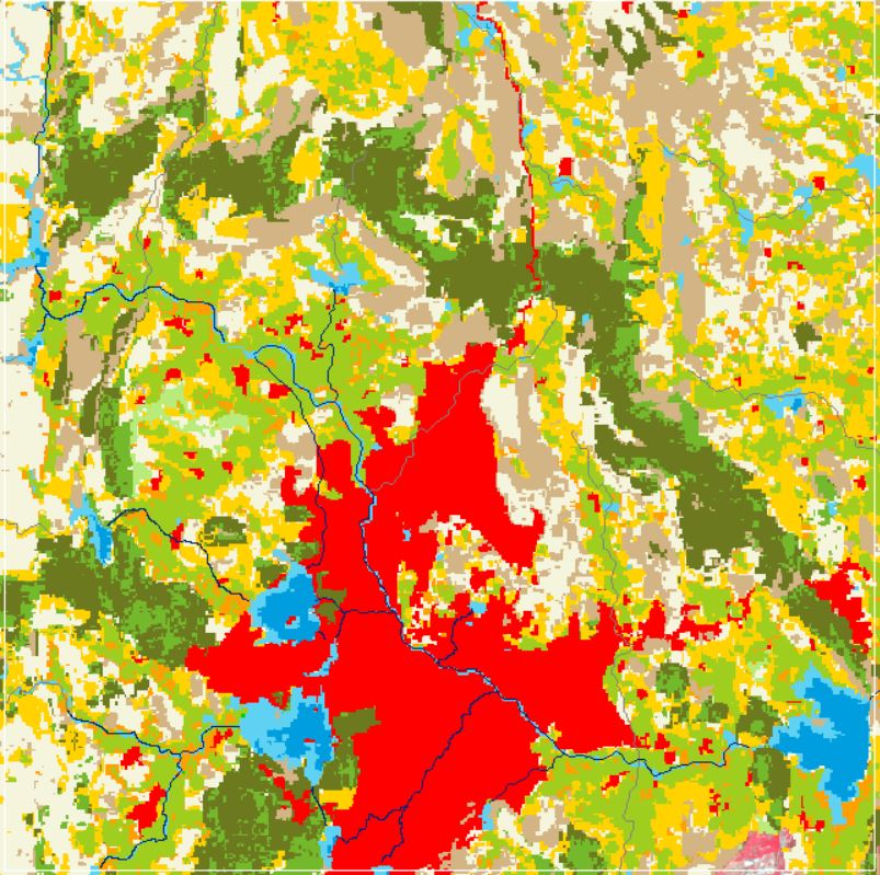
Land Use and Land Cover
The most valuable natural resource is land, which includes soil, water, and the accompanying plants and wildlife that make up the entire ecosystem. Information on land use helps with planning for development by enabling a better understanding of the land utilization aspects of cropping patterns, fallow areas, forests, grazing lands, waste lands, and surface water bodies. Any terrain's land use pattern reflects the intricate physical processes at play on the earth's surface. Various traditional classification schemes incorporate one or two parameters to classify the image (e.g. spectral differentiation, texture) and the focus is the physical property of the image. These approaches are efficient with low to moderate spatial resolution satellite images. Digital classification (unsupervised) method has been used for extraction of agricultural crop land, agricultural fallow land, vegetation, scrub - barren land, forest area, water bodies, and river-drain, while traditional visual image interpretation method has been used for digitization of other land use categories, built-up area (urban), and built-up area (rural). As historical high-resolution satellite imageries such as GeoEye, WorldView, QuickBird is also available on GoogleEarth, then these land use / land cover data layers have been verified through best available GoogleEarth satellite imagery.
Dataset
(1) Land use land Cover 2011 (2) Land use land Cover 2021Source: Landsat-7 ETM+ (Enhanced Thematic Mapper Plus) satellite imagery of 20th November 2011 with 30 m spatial resolution, and Landsat-9 OLI-2 (Operational Land Imager-2) satellite imagery of 09th November 2021 with 30 m spatial resolution.
Related images
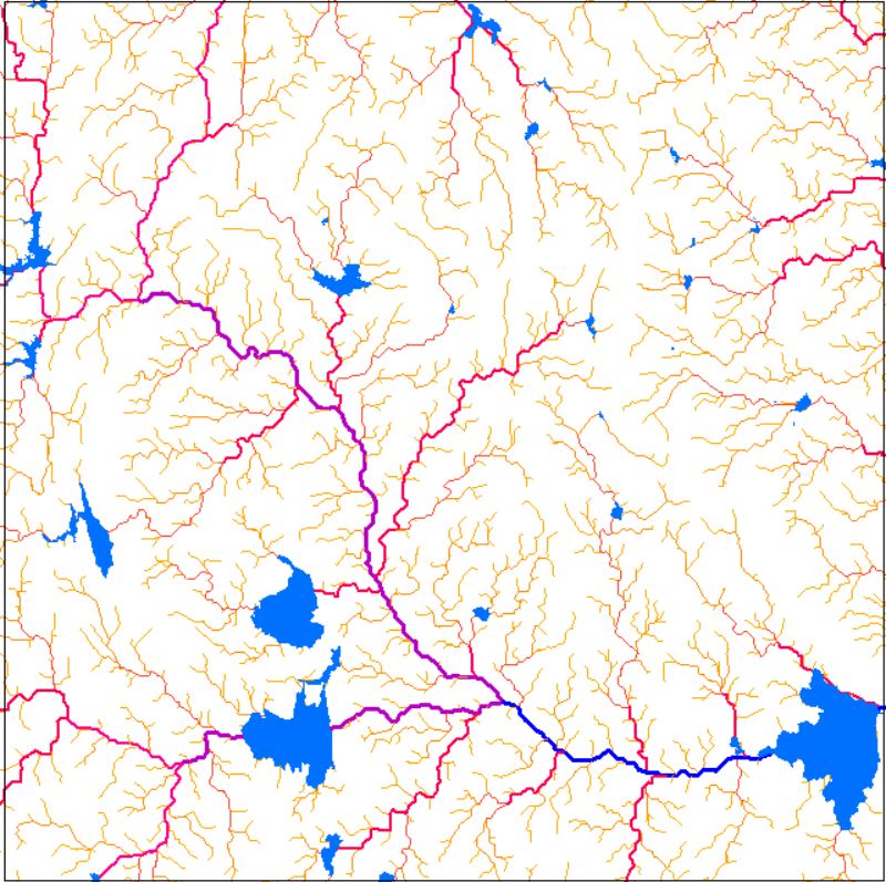
Drainage Network
View more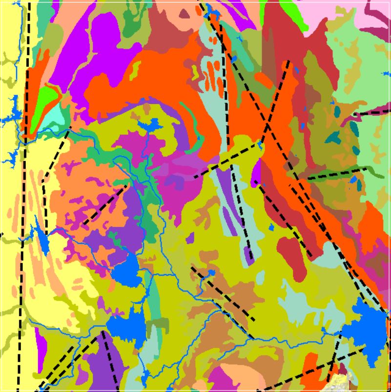
Perfumes
Geomorphology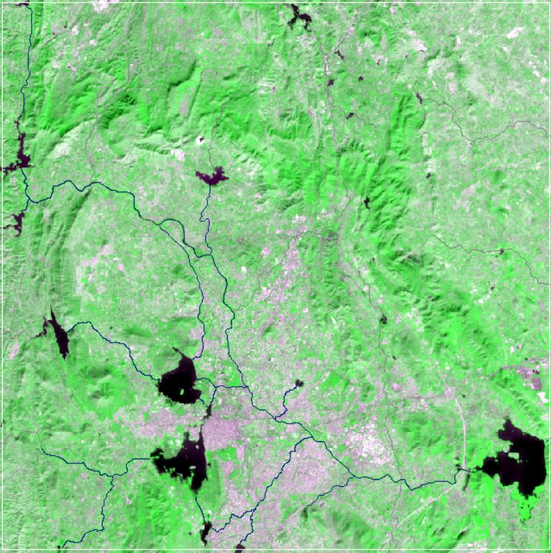
NDVI Vegetation Indices
View more
Land Use and Land Cover
View more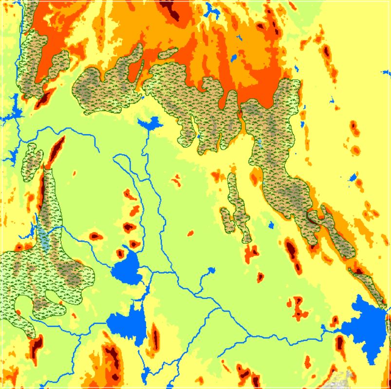
Landforms
View more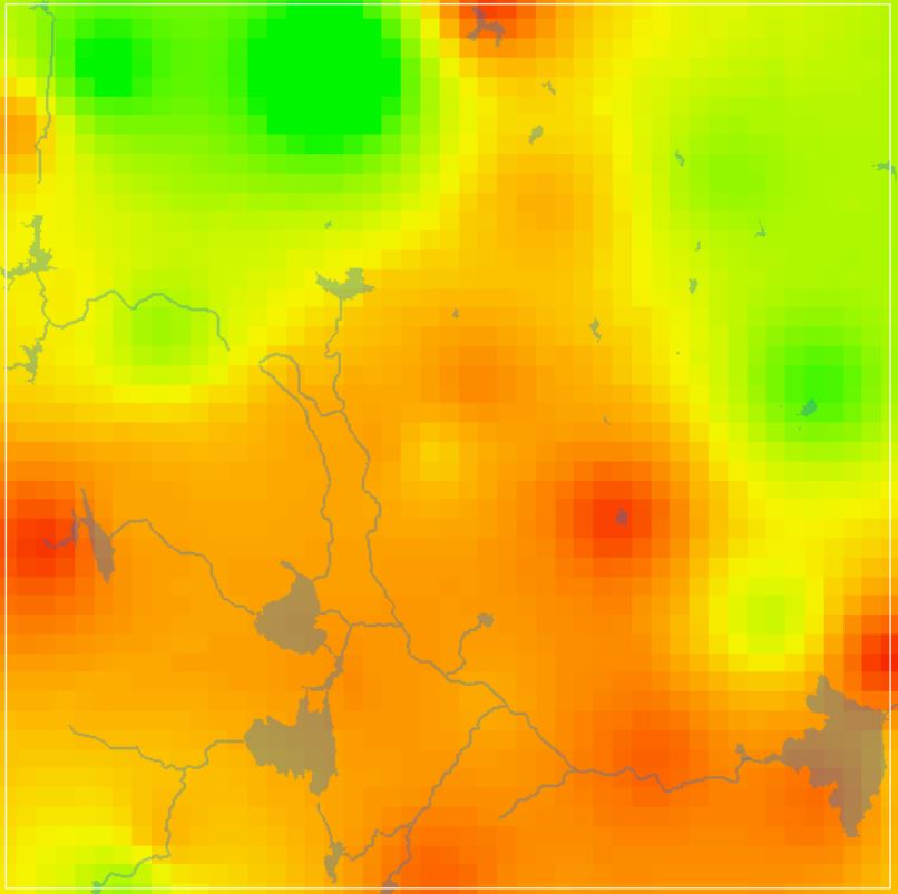
GW DTWL Data
View more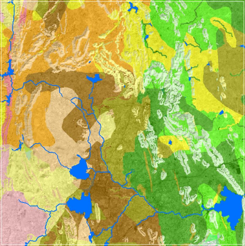
Soil Texture Data
View more